2 Bridge Dr, Topping, VA 23169, USA
Norris Bridge Beach

Address: Grey’s Point Road (Route 3), Topping, VA 23169

Coordinates: 37.6129636, -76.4352492

Directions: From Route 3 near the Robert O. Norris Jr. Bridge, turn onto Grey’s Point Road. Follow to the public beach access at the base of the bridge.

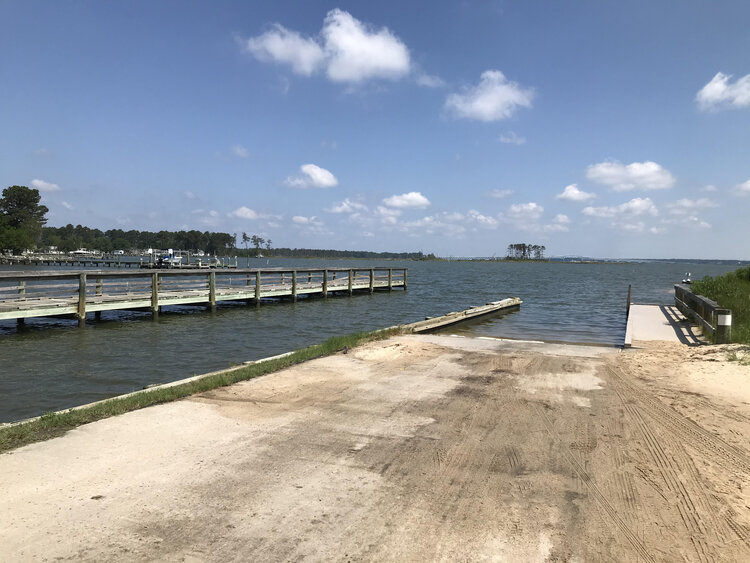
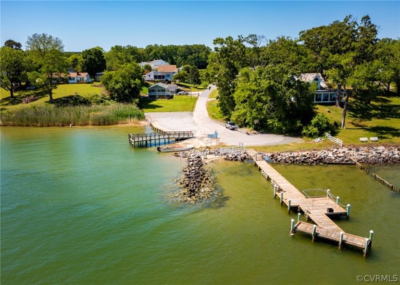
Over 400 feet of sandy public beach along the Rappahannock River, tucked just off Route 3 near the
base of the Robert O. Norris Jr. Bridge. The sheltered cove offers calm, open-water shoreline access
with expansive river views. Popular for swimming, shoreline fishing, kayak launching, and taking in
the river. Parking available on-site.

Explore

Nearby Places

Pilot House Inn Restaurant

Topping

Mill Creek Landing Public Boat Ramp

Topping

Rappahannock Oyster Company

Topping

Sunny Shores Retreat

Topping

Hummel Airfield

Topping

Norris Bridge Beach

Topping

Coastal Sky Taxi

Topping

Ivy Cottage B&B

Topping

Chesapeake Bay Oyster Co.

Topping

River Birch Gifts

Topping

Prime Mediterranean

Topping

Whiting Creek Boat Ramp & Dock

Topping

Merroir

Topping

Canoe House Landing

Topping

Dano’s Pizza

Topping

Wake Beach

Topping

First Baptist Church of Harmony Village

Topping

Regent Point Marina

Topping

The Little Blue Cottage – Topping

Topping

Southern Belle’s Transportation

Deltaville